 |
| sunrise at Manjack Cay |
We left at 8:45 am after a decent breakfast and finalizing everything. I did a rough estimate of the distance and came up with 340nm. We have traveled 100-120 nm in 24 hours. But with the Gulf Stream, Dave thought we could make the trip in 2.5-3 days. I was thinking at least 3. Brian and Jackie Killion have our “float plan”. We contacted them to let them know we were heading out and when to expect us to arrive at the Florida/Georgia border-St Mary’s inlet.
We have gotten into the rhythm of being together during the day, resting as you want to. Then Dave takes the early into late evening watch for 4-5 hours. Then I take the early morning into sunrise watch for 4-5 hours. Then we start over being together during the day. We seem to sleep better than when we tried 3 hour watches on and off.
I spent a lot of my time laying down in the cockpit. On my watches, I would be up for 5-10 minutes, check the surroundings and the radar and AIS. Then set an alarm for 15 minutes and lay down. Then repeat.
About noon, we were near Foxtown on Great Abaco Island and saw dolphins. We don’t see many dolphins in the Bahamas, so we thought this was good luck. We motored most of the day because the wind was less than 10 knots. Once we passed the island of Great Sale Dave said “well, we’re done with land for this trip.”. Sounded strange, but it was true. We wouldn’t pass any other land until we reached the US. We were traveling through what is known as the Little Bahama Banks. The water stays about 15 feet deep until you are about 60 miles from the US.
 |
| hanging a sarong makes a big difference when the sun is on your back |
About 4:00 we turned north west and were able to put up sails because of better direction for sailing. We went from motoring at 7 knots to sailing at 5 knots. But we had to remind ourselves that we weren’t using fuel. Dave decided to lay down for a nap. He had been at the helm all day. This was actually the first time I had to sit up all day. He only napped for about 1-2 hours. Then I made dinner for us and headed to be about 7:00. Dave was on watch for the evening. I missed taking a sunset photo.
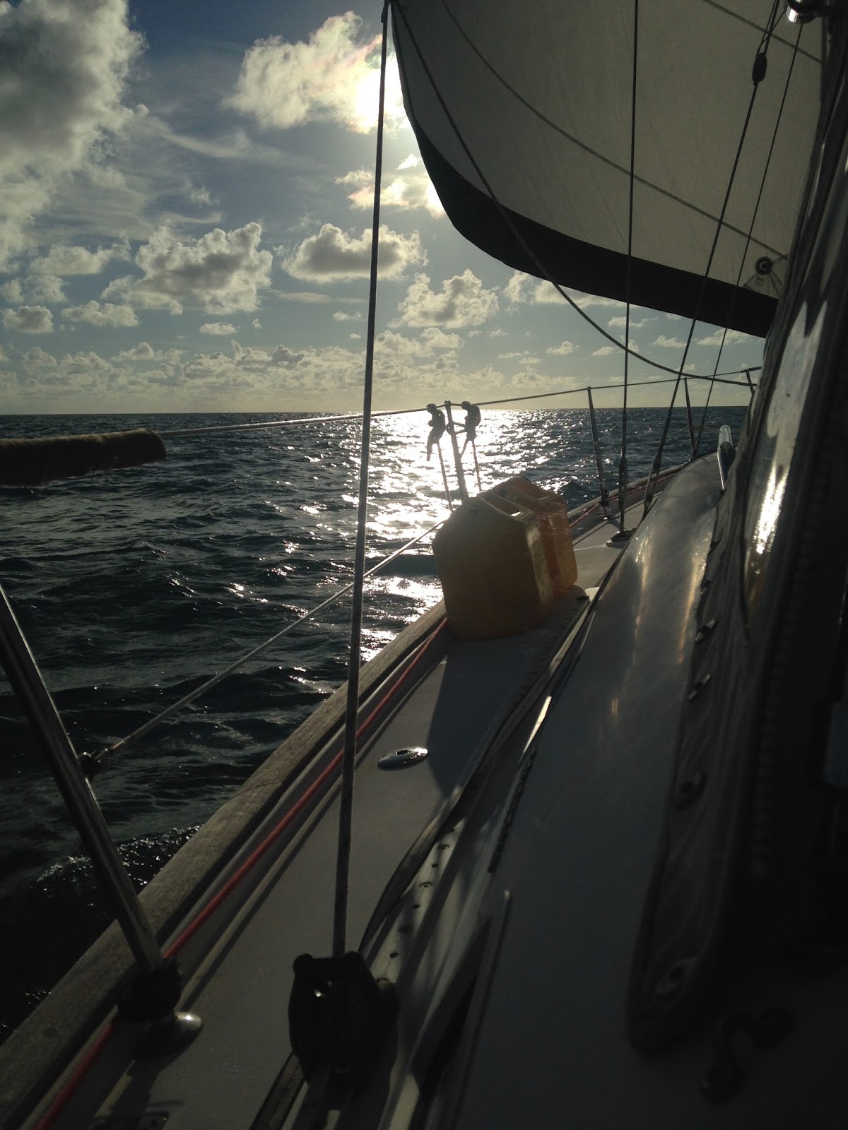 |
| pre sunset photo before I hit the sack |
No comments:
Post a Comment